Bowen, Emanuel
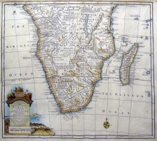
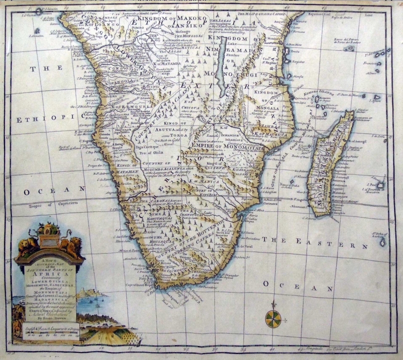
A NEW & ACCURATE MAP OF THE SOUTHERN PARTS OF AFRICA, CONTAINING LOWER GUINEA, MONOEMUGI, ZANGUEBAR, AND EMPIRE OF MONOMOTAPA, COUNTY OF THE CAFRES &C. AND THE ISLD. OF MADAGASCAR. London, 1747 first edition
LOT 448
Bowen, Emanuel
A NEW & ACCURATE MAP OF THE SOUTHERN PARTS OF AFRICA, CONTAINING LOWER GUINEA, MONOEMUGI, ZANGUEBAR, AND EMPIRE OF MONOMOTAPA, COUNTY OF THE CAFRES &C. AND THE ISLD. OF MADAGASCAR. London, 1747 first edition
Lot Estimate Change Currency
ZAR 2 000 - 3 000
About this Item
Bowen, Emanuel
A NEW & ACCURATE MAP OF THE SOUTHERN PARTS OF AFRICA, CONTAINING LOWER GUINEA, MONOEMUGI, ZANGUEBAR, AND EMPIRE OF MONOMOTAPA, COUNTY OF THE CAFRES &C. AND THE ISLD. OF MADAGASCAR. London, 1747 first edition
Depicts Southern Africa with reliefs shown pictorially. Includes geographic and ethnographic notes and an ornamental cartouche depicting lions, fruit, a farmstead with labourers and a bay.
37 by 45cm excluding frame; 61 by 67,5 by 2cm including frame
More from South African and International Fine and Decorative Art

Abstract Landscape II
ZAR 3 000 - 5 000
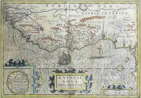
Hondius, Hendrik and Mercator, Gerhard
GVINEAE NOVA DESCRIPTIO. Germany, 1633 first edition
ZAR 2 000 - 3 000
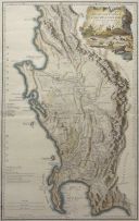
L S De La Rochette
THE DUTCH COLONY OF THE CAPE OF THE CAPE OF GOOD HOPE BY L.S. DE LA ROCHETTE MDCCXCV. London, 1795 first edition
ZAR 2 500 - 3 500
Bertius, P and Tavernier, M
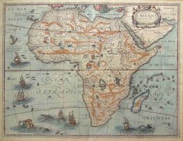
CARTE DE L'AFRIQUE, CORRIGÉE ET AUGMENTÉE DESUS TOUTES LES AUTRES CY DEUANT FAICTES PAR P.BERTIUS. Paris, 1627 first edition
ZAR 3 500 - 5 000
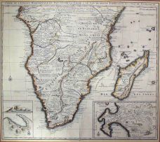
Nicolas Janz Visscher II
CARTE DE L'AFRIQUE MERIDIONALE. Amsterdam, 1730 first edition
ZAR 4 000 - 6 000
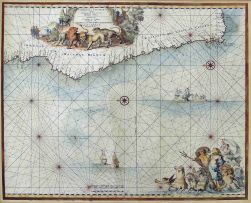
de Wit, Frederick
CIMBEBAS ET CAFFARIAE LITTORA A CATENBELA AND PROMONTORUM BONAE SPEI. Amsterdam, 1680 first edition
ZAR 4 000 - 6 000