After Kolben, Peter
A Map of the Country of the Hottentots, towards the Cape of Good Hope
LOT 586
After Kolben, Peter
A Map of the Country of the Hottentots, towards the Cape of Good Hope
Lot Estimate Change Currency
ZAR 1 000 - 1 500
Selling Price
Incl. Buyer's Premium & VAT
Incl. Buyer's Premium & VAT
ZAR 2 811
Auction Catalogue
About this Item
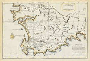
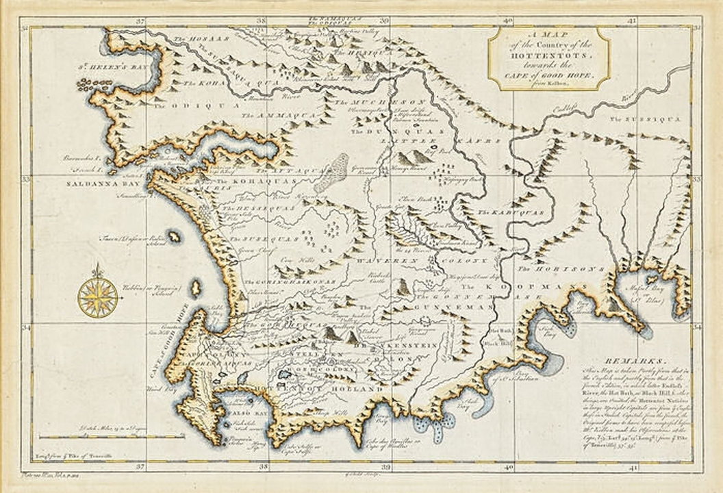
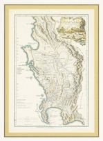
After Kolben, Peter
A Map of the Country of the Hottentots, towards the Cape of Good Hope
Netherlands, circa 1750
first edition
The hand-coloured map depicts Southern Africa from the Cape of Good Hope to The Namaquas and The Odiquas. "This map is taken partly from that in the English and partly from that in the French edition, in which latter Endless-River, the Hot Bath at Black Hill & other things are omitted".
24 by 36cm excluding frame
More from Important South African & International Art, Furniture, Decorative Arts & Jewellery
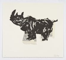
Rhino (Head Up)
ZAR 30 000 - 50 000
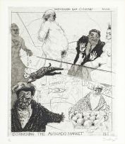
Forswearing Bad Company, from the Industry and Idleness series
ZAR 28 000 - 34 000
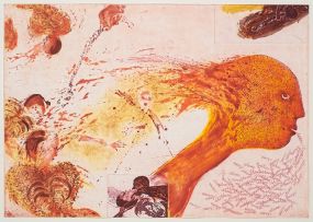
Heating and Ventilation (After Manet)
ZAR 20 000 - 30 000
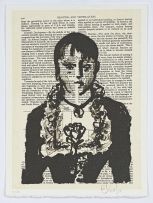
Siestog
ZAR 20 000 - 30 000
L S De La Rochette
The Dutch Colony of The Cape of Good Hope
ZAR 2 500 - 3 500
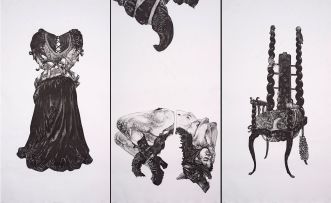
Trinity Fetish (Straight Dress II, XXX, Mercy Seat), three
ZAR 120 000 - 180 000